星目探宇
科普知识大合集
星目探宇
首页
奇妙科普
天文摄影
星地对比
科普视频
活动专区
留言区
NASA资料馆
去登录
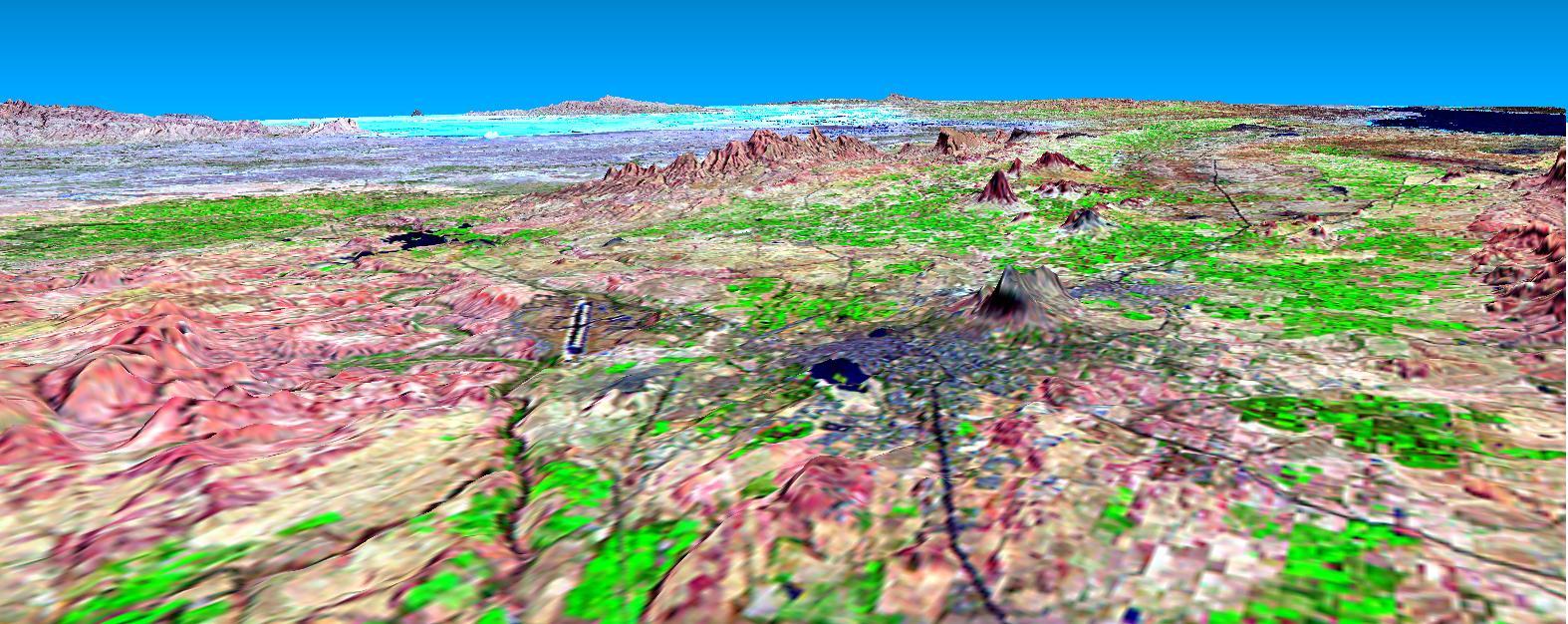
SRTM透视图与Landsat叠加:印度布吉
该透视图显示了2001年1月26日印度西部发生地震后位于前景灰色区域的印度布吉市。该图像由NASA Landsat卫星和航天飞机雷达地形任务SRTM的数据生成。
Tags:
2001-04-05T16:33:41Z
,
This perspective view shows the city of Bhuj, India, in the foreground gray area after an earthquake in western India on January 26, 2001. This image was generated from NASA Landsat satellite and data from Shuttle Radar Topography Mission SRTM.
,
大家在找
海啸
海啸
地震
地震
地震
你好
你好
你好
蟹状星云
海卫一
星环
星环
星环
土卫六
火星探测
机智号
200
台风
长征
2025
顶部