星目探宇
科普知识大合集
星目探宇
首页
奇妙科普
天文摄影
星地对比
科普视频
活动专区
留言区
NASA资料馆
去登录
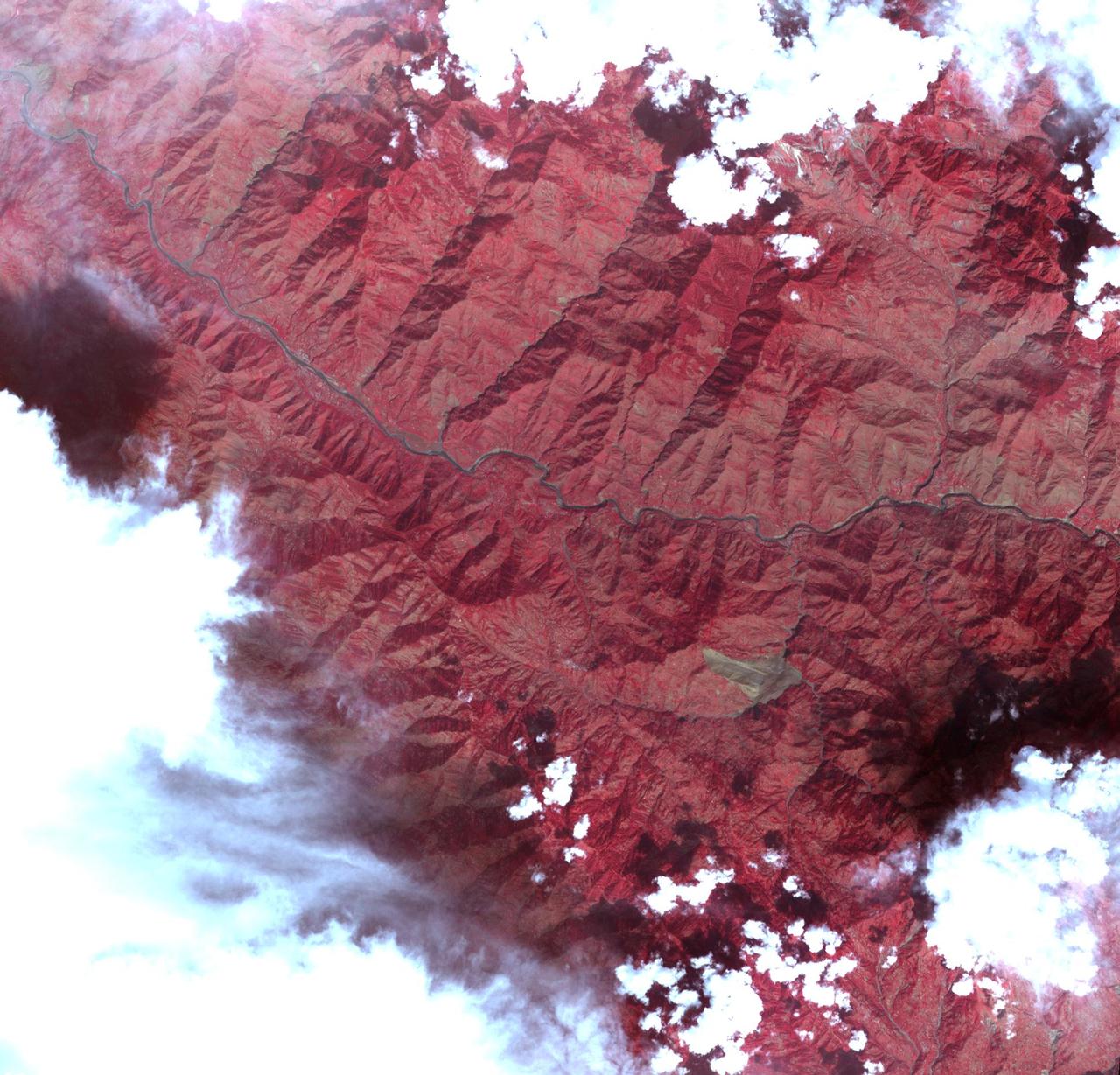
克什米尔山体滑坡
这张图像由NASA Terra航天器于2005年10月11日拍摄,描绘了巴基斯坦7.6级地震震中东南部30公里、19英里宽的地区,位于克什米尔皮尔蓬加尔山脉的穆扎法拉巴德和乌里之间。
Tags:
2005-10-12T00:03:37Z
,
This image acquired by NASA Terra spacecraft on Oct. 11, 2005, depicts a 30-kilometer 19-mile wide region southeast of the epicenter of the magnitude 7.6 Pakistan earthquake, between Muzaffarabad and Uri in the Pir Punjal range of Kashmir.
,
大家在找
海啸
海啸
地震
地震
地震
你好
你好
你好
蟹状星云
海卫一
星环
星环
星环
土卫六
火星探测
机智号
200
台风
长征
2025
顶部