星目探宇
科普知识大合集
星目探宇
首页
奇妙科普
天文摄影
星地对比
科普视频
活动专区
留言区
NASA资料馆
去登录
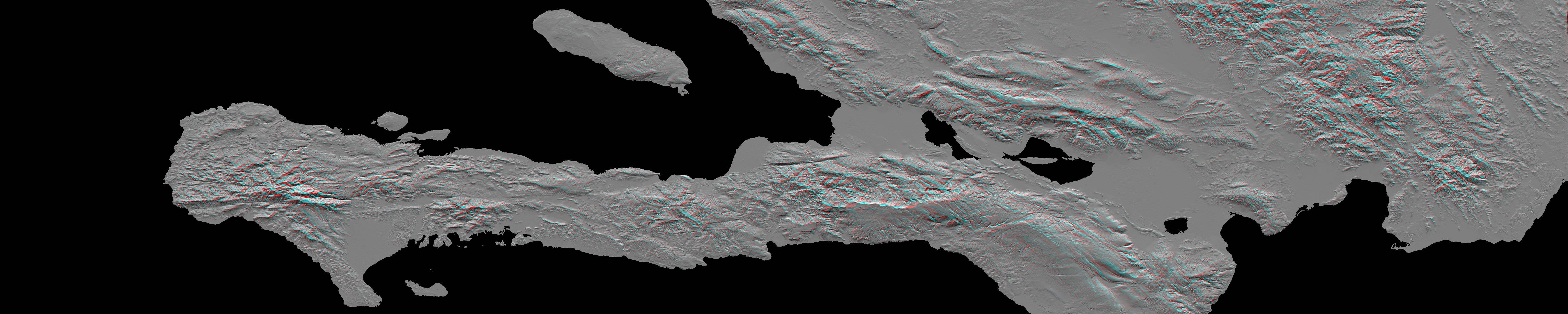
海地南部阿纳格尔斯
这张图像根据美国宇航局奋进号航天飞机上的仪器数据制作,是海地太子港地形的立体视图,2010年1月12日,那里发生了7.0级地震。您需要3D眼镜才能查看此图像。
Tags:
2010-01-14T19:12:51Z
,
This image, produced from instrument data aboard NASA Space Shuttle Endeavour, is a stereoscopic view of the topography of Port-au-Prince, Haiti where a magnitude 7.0 earthquake occurred on January 12, 2010. You need 3-D glasses to view this image.
,
大家在找
海啸
海啸
地震
地震
地震
你好
你好
你好
蟹状星云
海卫一
星环
星环
星环
土卫六
火星探测
机智号
200
台风
长征
2025
顶部