星目探宇
科普知识大合集
星目探宇
首页
奇妙科普
天文摄影
星地对比
科普视频
活动专区
留言区
NASA资料馆
去登录
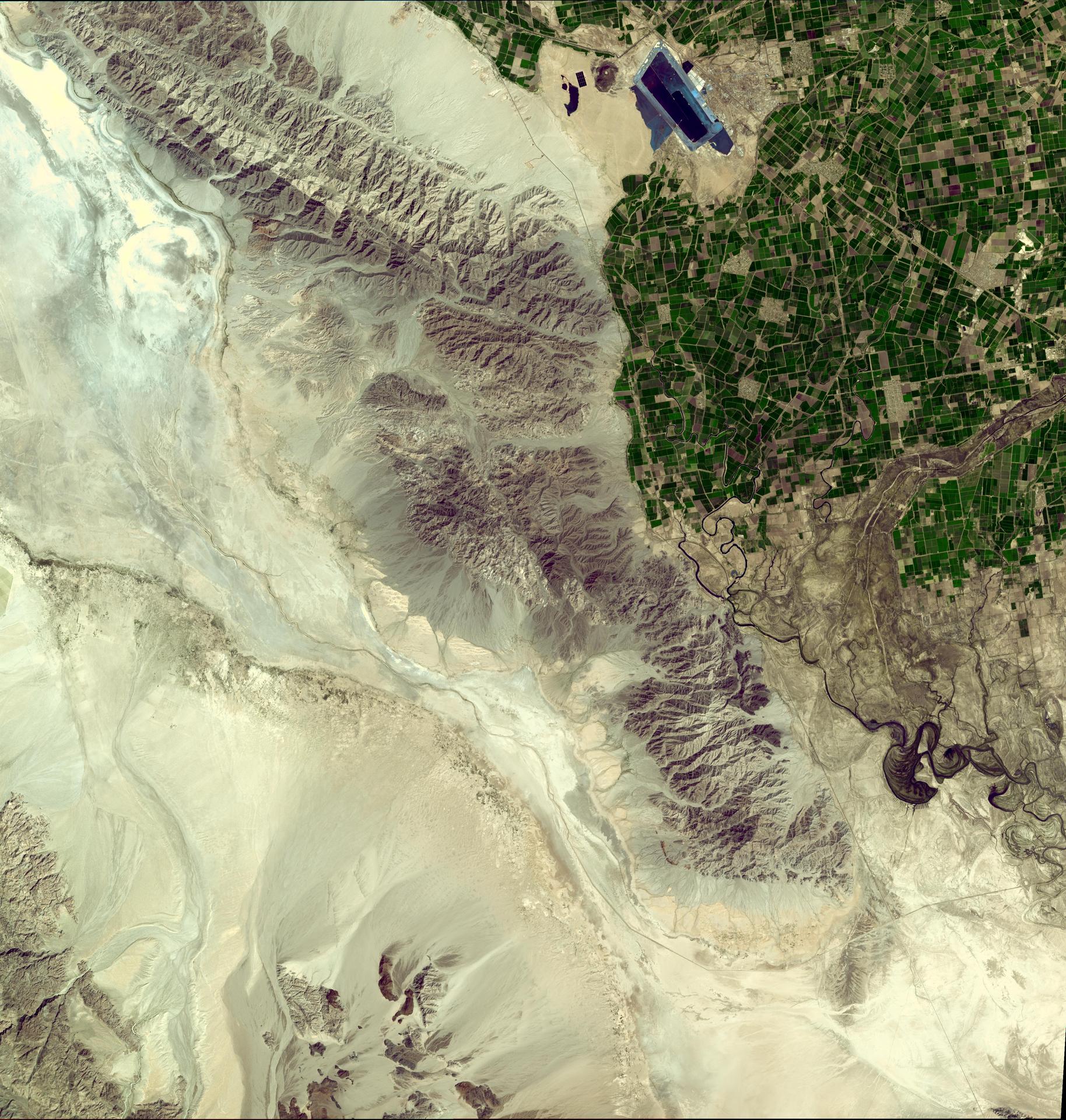
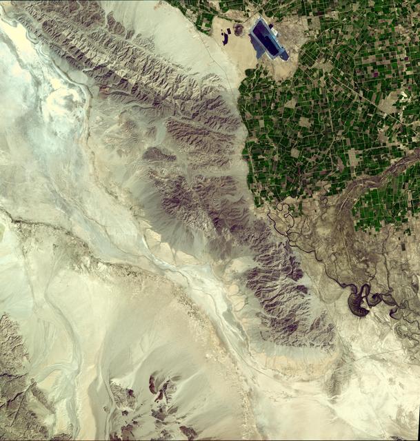
NASA卫星图像显示加州巴哈地震附近地区人口稀少
这张来自NASA Terra航天器的图像显示,2010年4月4日,加利福尼亚州墨西哥下亚发生了一场7.2级地震,地点位于北美板块和太平洋板块之间的主板块边界的浅层。
Tags:
2010-04-09T19:51:58Z
,
This image from NASA Terra spacecraft shows where a magnitude 7.2 earthquake struck in Mexico Baja, California at shallow depth along the principal plate boundary between the North American and Pacific plates on April 4, 2010.
,
大家在找
海啸
海啸
地震
地震
地震
你好
你好
你好
蟹状星云
海卫一
星环
星环
星环
土卫六
火星探测
机智号
200
台风
长征
2025
顶部